Function:
Microtremor could be divided into two types: Natural sources and man-made sources.
Natural sources of microtremors arise primarily from wind, ocean w***es, volcanic activity, tectonic activity, surface rock migration.
Man-made sources of microtremors primarily arise from means of transportation, machinery, production, and artificial fracturing and blast mining.
SE3NT Microtremor Monitoring System is specifically developed for the monitoring and testing of various Microtremors, widely used in environmental disaster monitoring, microtremor exploration etc.
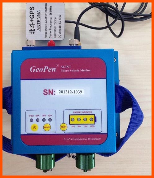
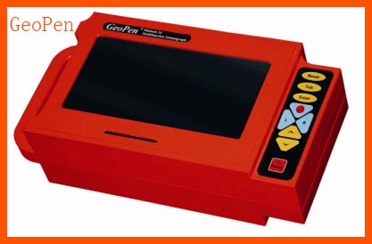
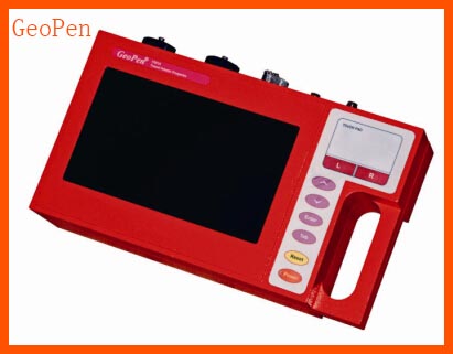
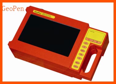
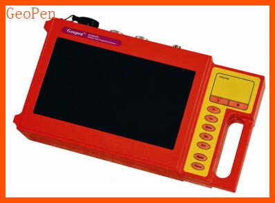
The SE3NT is composed of the wireless acquisition unit (RSU), on-site substation (CSU), and remote control host computer (KCU).
Application:
Building and structure sei***ic evaluation and design, foundation classification, and foundation improvement, landslide monitoring, geothermal surveying, illegal mining surveillance, goaf investigation, hydraulic fracturing, carbon dioxide sequestration monitoring, orebody water migration etc.
Specificati***:
1. Channel NO: 3
2. Frequency Range: 0 - 500 Hz
3. Dynamic Range: 126 dB
4. A/D converter: Δ Σ 24 bit
5. Sampling Interval: 10, 20, 50, 100, 500, 1000 Hz
6. Record Length: > = 1GB/CH
7. Max Input Voltage: 10 V (G=1)
8. Pre-amplifier Gain: G=1, 2, 4, 8, 16, 32, 64
9. Noise: 0.6 UV
10. Input Impedance: 30 kOhm
11. Built-in Core Processor: ARM-9
12. Built-in GPS: Timing error 30 ns, positional accuracy 2.5 m, sensitivity -162 dBm (operable in densely wooded areas)
13. Built-in Wireless Communication: 2.4 GHz, line of sight range 3.2 km, actual range in mountainous terrain 300 m (can select GPRS remote communication).
14. Memory: 4 - 16 GB SD card
15. Trigger: Event-based, timing-based, or planned (if event-based, can pre-collect 256-1024 sample points)
16. ***erage Power C***umption: 140 mA operating, 30 mA standby
17. Battery: 7.2V/8.8Ah, 50 hours operating time or 300 hours standby
18. Size: 180 X 180 X 80 mm
19. Weight: 750 g
20. Operating Conditi***: -20 to 85 degrees Celsius, rainproof